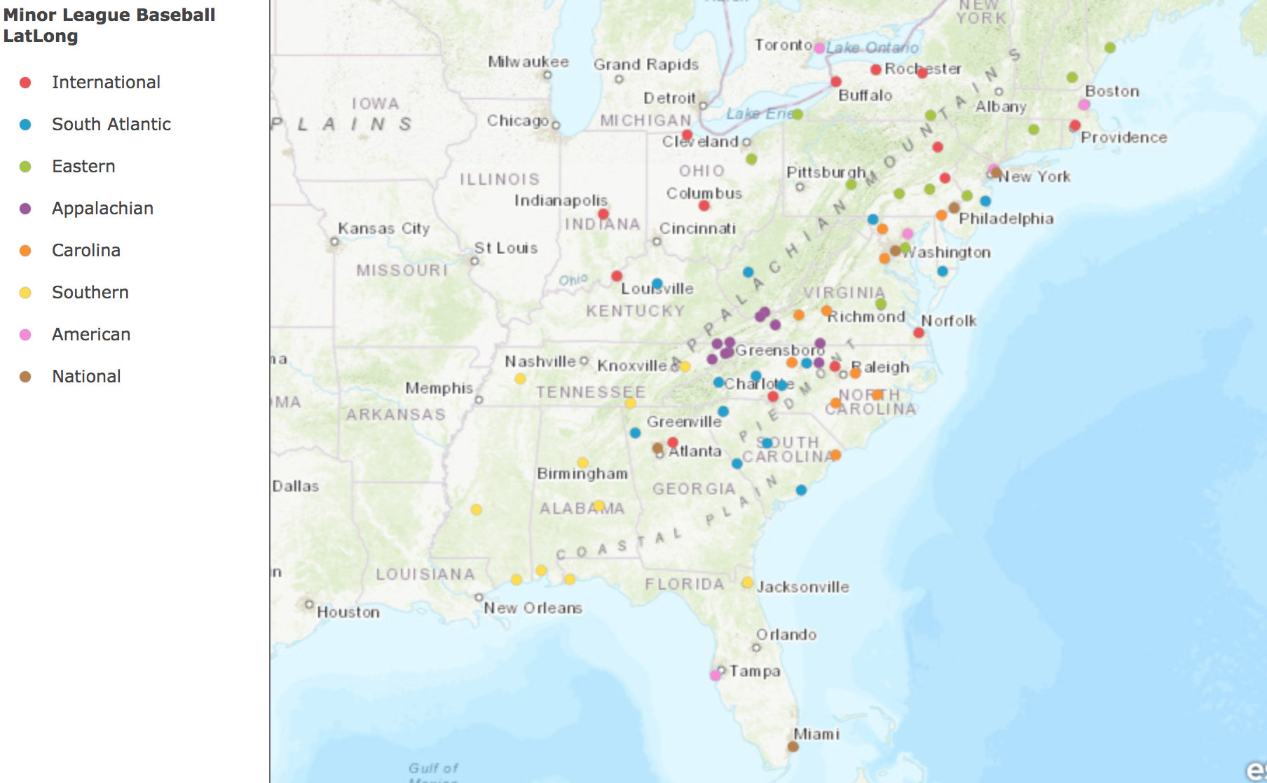
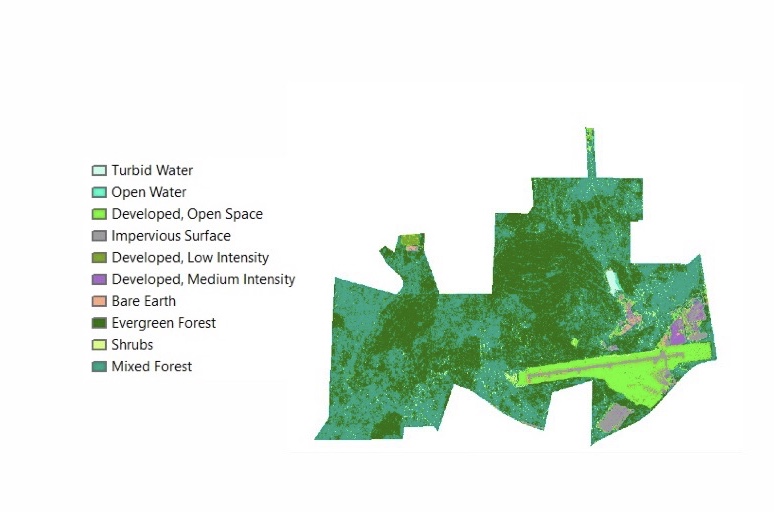
Yates has done lots of work with mapping and other kinds of spatial data visualizations, including graphs in matlab of solar movement and radiation, groundwater interpolations, and a landcover analysis of a parcel (figure 2). He has also used his skills to create a map of all the professional baseball teams on the east coast in order to plan places to visit teams (figure 1).
Past Work


Figure 1, left
Figure 2, right